
Statesville Previous Residents by Era
For previous residents, the source order changes with the time period. The current parcel card gives an address spelling, parcel or account identifier, owner display, deed reference, and other land fields. Recorded instruments lead backward through transfers. Local city directories add dated name-to-address or street-to-household entries. Sanborn maps add structure and street context, while library newspapers, cemetery work, family files, and archival series can test a name or event. Keep separate columns for the source date, the person named, and that person's role. A listed owner, grantor, grantee, executor, or occupant is not automatically the same kind of connection.
| Historical source | Period represented | Where it is held | What it can show |
|---|---|---|---|
| Iredell online Land Records | December 1788 to present, as advertised | Register of Deeds systems | Party-indexed recorded instruments |
| Iredell archive deed series | 1811-1945 | North Carolina State Archives inventory | Transferred land-deed series |
| Mortgages and deeds of trust | 1857-1952 | North Carolina State Archives inventory | Security instruments and named parties |
| Statesville directories | 1907-1910; 1914-1992; 1995-2003; Polk 2004-2021 | Iredell Library and DigitalNC | Dated name and address or street evidence |
| Sanborn and map materials | Named editions from 1885 through 1930, plus later index references | Library and Library of Congress | Structures, street labels, and block context |
Start with the source nearest the date you can document. A recent parcel result is useful for a deed reference, but it cannot confirm who lived at the address in an earlier decade. A historical directory may place a printed household at the address, but it does not create a title record. That division keeps a Statesville address history honest.
Start With a Statesville Parcel
The Iredell County Tax Search Real Estate Search is the practical parcel entry point. Its documented fields include owner name, account number, segmented parcel fields, property address, tax year, legal land size, legal land type, and zoning. A parcel result can display address, township, deed references, legal description, values, sales information, tax codes, and a property-record-card link. Save the parcel or account identifier and the current street spelling before moving to another system.
That public display is a lead, not a legal document. The Assessor does not certify its accuracy, and the portal says users assume risk. MapGeo can help visualize the parcel and nearby geometry, but county notices based on deeds, plats, and public records still need verification. A street number, ZIP label, township, city limit, ward, and precinct are separate geographic descriptions. Do not let one label stand in for another.
Use an address-to-parcel sequence:
- Search the street address and preserve the result's exact spelling.
- Record the parcel or account identifier, township, deed reference, and legal description as displayed.
- Open MapGeo to check parcel geometry and the surrounding map context.
- Take the recorded deed reference to the Register of Deeds rather than treating the tax display as the transfer record.
Multi-unit buildings, vacant parcels, trusts, corporate owners, and changing street labels require extra care. An owner display does not prove that the owner was a resident, and an address match is only a starting point for a past-resident trail.
Iredell Deed Gaps for Statesville
Iredell County's Land Records page advertises coverage from December 1788 to the present. A separate transferred-record inventory lists Iredell land deeds from 1811 through 1945, mortgages and deeds of trust from 1857 through 1952, land entries from 1855 through 1905, and judgment-docket tax sales from 1930 through 1970. Those date ranges describe different custody and series contexts, so they should not be treated as a contradiction or as a single searchable run.
The Register of Deeds is also in a Cott Systems to CCS transition. The county says data is under testing and may be incomplete or inaccurate, and it advises checking both systems when needed. A no-result screen can reflect a spelling variant, an older book, a record that was not digitized, or the vendor transition. It is not proof that an earlier transfer never happened.
The Statesville Register of Deeds office is at 211 Constitution Lane. Its official copy channels include the counter, phone, and copy request route; certified deed copies are listed at $5 for the first page and $2 for each additional page. Confirm any payment detail with the office before ordering because online conditions are changing.
Tracing Past Statesville Owners
The deed chain documents transfers of an interest, not a complete household history. Start with the most recent deed reference shown on the parcel card. Read the instrument for grantor, grantee, legal description, date, consideration language, easements, restrictions, and references to an earlier deed. The prior reference and party roles point to the next record backward. A grantee may be a buyer, trustee, executor, corporation, spouse, or heir. Record the role exactly before connecting a person to the address.
- Capture the parcel identifier, current owner display, and most recent recorded-deed reference.
- Locate the recorded instrument through the Register of Deeds systems or office.
- Read the legal description and prior book or page reference, not only the street address.
- Search the named prior party in the appropriate recorded role and repeat the backward reference.
- When the online trail stops, use the counter, phone, copy request, library, or State Archives route for the older series.
- Grantor
- The party conveying an interest in a recorded instrument.
- Grantee
- The party receiving an interest in a recorded instrument.
- Chain of title
- The linked sequence of recorded transfers traced through cited instruments.
- Legal description
- The land description in a deed or plat. It can remain useful when an old street label differs from a modern address.
Note: A recorded name establishes a document role on a date, while evidence of a past household needs its own dated source.
Statesville Past Households in Directory Years
Once the deed chain supplies a time range and address variants, use historical directories to look for people associated with that address. The Iredell Library lists Statesville and Iredell directories for 1907 through 1910, Statesville city directories from 1914 through 1992 and 1995 through 2003, Miller's volumes from 1932 through 1964, and Polk directories from 2004 through 2021. DigitalNC provides key early scans. Search both alphabetical and householders' or street sections, then copy the page, volume, printed notation, and exact address.
The historical collections themselves are described in the Statesville city directory resource. Here, their role is narrower: compare a dated directory line with the parcel and deed timeline. A name that appears in an address section may be a household or residence notation for that edition. It does not convert a grantee into an occupant or resolve a same-name match without corroboration.
A simple household trail follows this order: parcel and deed reference → dated directory line → next available directory → newspaper, map, cemetery, or archive confirmation. Keep every date in the sequence. A gap between editions is a research gap, not evidence that a building was vacant.
Sanborn editions add the block's physical context. The library guide lists Statesville sheets for 1885, 1890, 1895, 1900, 1905, 1911, 1918, 1925, and 1930, while the Library of Congress holds a February 1885 Statesville map. They can show footprints, uses, street names, boundaries, house or block numbers, water mains, and fire hydrants. They do not name every person who lived there.
Statesville Address Trails Need Map Dates
Address history depends on place as well as names. Compare the current tax situs, the postal-standardized address, the directory spelling, the Sanborn street label, and the deed's legal description before deciding that two records describe the same location. The research did not locate a definitive Statesville street-renumbering or street-renaming year. No conversion should be invented when the number cannot be bridged.
Use the Statesville Map Book, county map gallery, Sanborn sheets, city-limit maps, and the library's map indexes to test the connection. The county map gallery separates ZIP, city-limit, ward, precinct, and township maps. Those labels overlap in real life but do not mean the same thing. A map is strong context for a historical address, yet the recorded instrument and custodian remain the source for a formal land record.
This local geography rule is especially important near an edge of Statesville or when a printed directory shortens a street name. Preserve the original version first. Then document the map or municipal source that supports any proposed reconciliation.
Statesville Address Trails and Earlier Names
Green Street Cemetery demonstrates why historical name work needs more than one index. Library research identifies Union Grove as an earlier cemetery reference and notes that Green Street was formerly High Street. An 1885 deed refers to the Colored Graveyard Association, and an 1886 plot purchase is part of the documented chronology. These are names and dates for the cemetery project, not a shortcut for connecting every similar address or surname.
A 1939 WPA effort recorded 72 marker names. Ground-penetrating radar identified 2,224 grave locations in 2023, and a 2024 update reported 1,485 identified names and 738 unknown. The research also records a marker-count difference of 151 on one page and 157 in later reporting. That discrepancy is useful evidence practice: save the source date, identify which count it reports, and do not silently merge conflicting figures.
For a previous-resident question, newspapers, obituaries, cemetery surveys, marriage notices, school scrapbooks, church notes, and family files can confirm an event or association after an address trail is established. They should not be used to republish a current private contact detail.
Statesville Address History Beyond the Web
When the online parcel or deed trail ends, the next channel is the custodian and the archival catalog, not a broad guess. The State Archives inventory includes Iredell Superior Court minutes for 1807-1845 and 1869-1970, court indexes, civil and criminal papers, deeds, land entries, estate material, and tax-sale series. The Iredell Clerk holds court, estate, probate, divorce, and filed court records, while the Register of Deeds holds recorded instruments. The City redirects records it does not hold to the correct county or state custodian.
The North Carolina State Archives catalog guidance is the source for this search view.
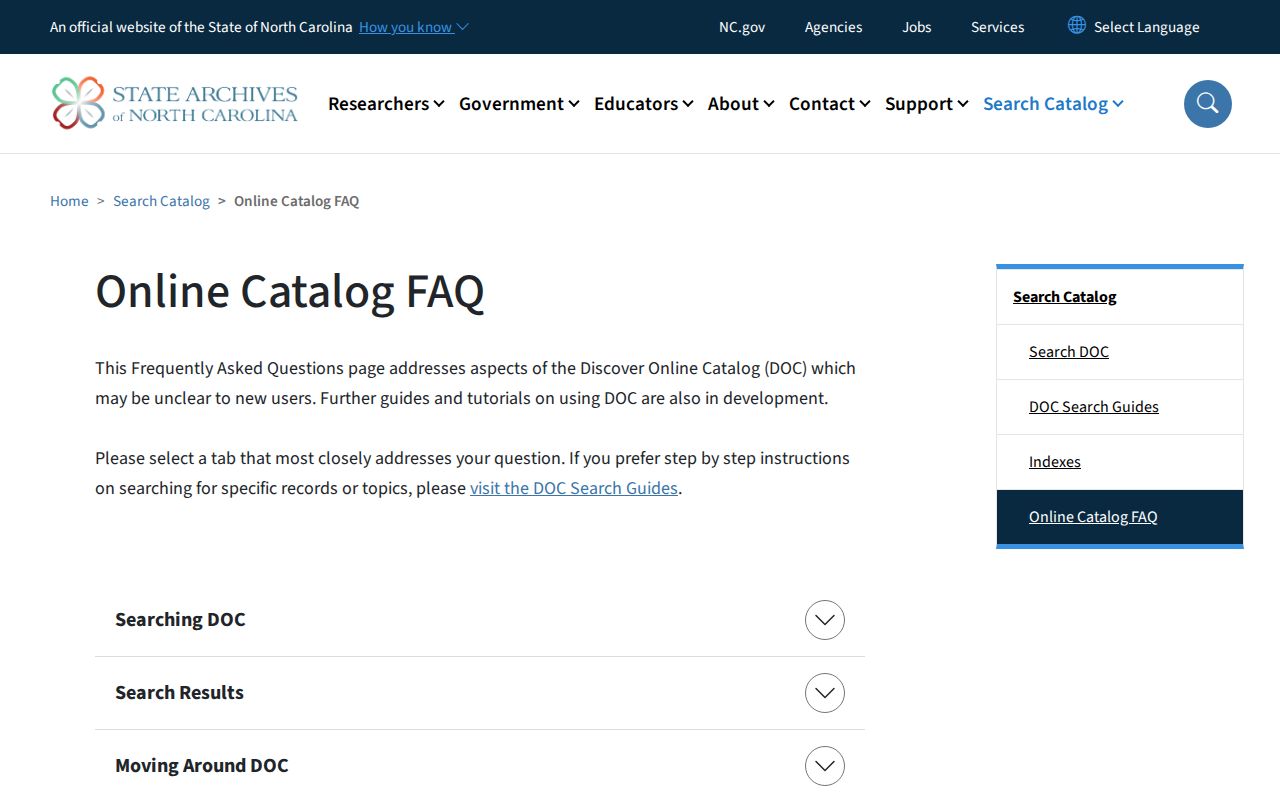
Use date, creator, format, and subject terms to narrow an archival search, then retain the series or catalog identifier with the address timeline. The catalog tells you where to ask for material; it is not a substitute for reading the underlying record.
The State Archives series-search interface is also a route for identifying county series.
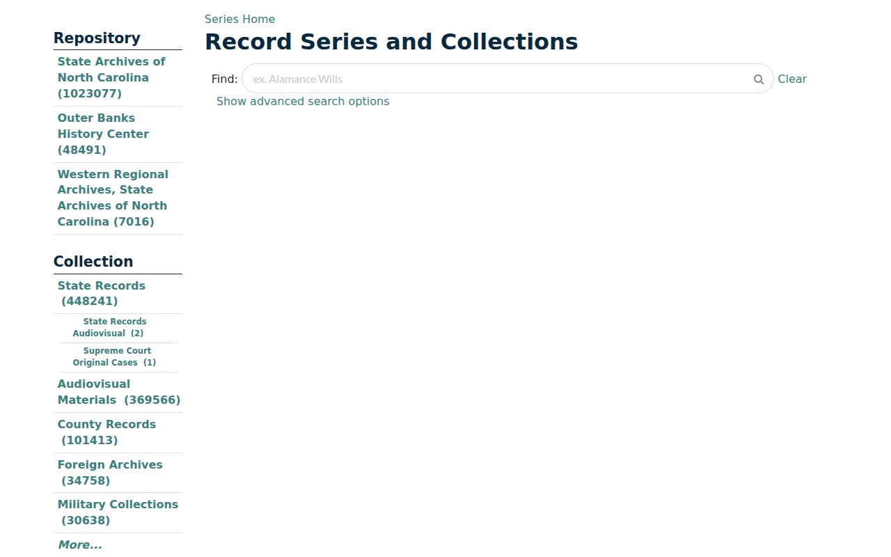
The Archives Search Room, correspondence route, and library staff are practical alternatives when a web index has no usable result. For transferred-record questions, the research lists archives@ncdcr.gov and the Search Room at 919-807-7310.
Past Households at a Statesville Address
Past residents can be researched for family history, a property's history, estate questions, or local history, but only with careful source boundaries. Keep a worksheet with the street spelling, house number, parcel or PIN, source, source date, event date, named party, recorded role, exact page or book reference, confidence, and follow-up. Mark a person as owner, grantee, or occupant only when that record says so. This turns a stack of matches into a timeline that another researcher can check.
If a name disappears, return to the nearest dated directory and compare maps, newspapers, obituaries, cemetery work, deeds, and archival records. The library's Heritage Room and Genealogical Society can help identify house-history and family-file material, while the State Archives can identify transferred series. A missing result is a signal to change channel, not permission to infer a story.