
Statesville ZIP Code Directory Coverage
Three official ZIP code labels are associated with Statesville in the USPS material reviewed: 28625, 28677, and 28687. The research did not locate a current official neighborhood-by-ZIP table, a delivery-route split, or a list of edge addresses. That gap matters. The right use of a Statesville ZIP code directory is to show the recognized postal label, then verify the exact address in the current USPS tool and compare it with Iredell County's separate map layers.
| ZIP code | Statesville coverage described | Postal evidence | Research caution |
|---|---|---|---|
| 28625 | Statesville-associated delivery geography | USPS DMM archive associates the code with Statesville labeling | Exact current neighborhood and route boundary were not located |
| 28677 | Main Statesville postal label | Statesville Post Office, 301 S Oakland Avenue, Statesville NC 28677-9998 | Postal label is not proof of city-limit status or occupancy |
| 28687 | Statesville-associated delivery geography | USPS DMM archive associates the code with Statesville labeling | Current PO Box and street-delivery distinction was not located |
Do not substitute an unofficial neighborhood map for that missing detail. The county ZIP map and its live service are stronger local checks, while USPS remains the source for a standardized delivery answer. A ZIP code can organize a Statesville search, but it cannot on its own identify a person, an incorporated address, or a voting jurisdiction.
Verify a Statesville ZIP Code
USPS offers three useful routes. By Address standardizes a specific street address. By City and State returns the complete list of recognized ZIP codes for a city and state. Cities by ZIP returns recognized or recommended city names for a code. If more than one answer appears for an address, add the unit. USPS expressly warns that a result does not confirm a person or company at that address, which makes it a postal check rather than an occupancy test.
The USPS ZIP Code Lookup is the source for this Statesville image of the three available search modes.
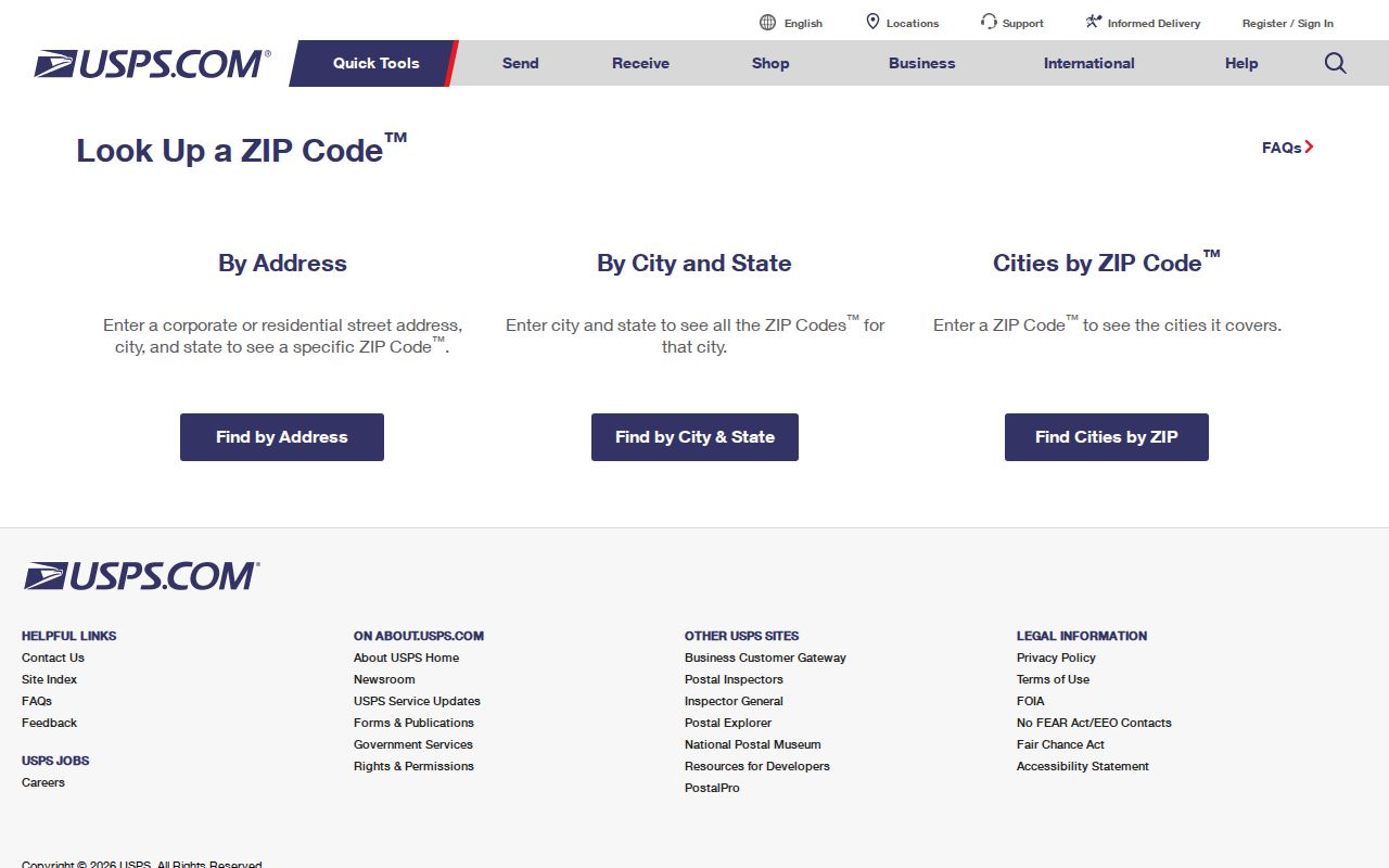
The image documents the official lookup choices that should precede a county parcel or map search. Save the standardized result with the research date when a Statesville address lies near a postal or municipal edge.
The local post office is at 301 S Oakland Avenue, Statesville NC 28677-9998, phone 704-872-5213. The inspected page posted Monday through Friday service hours of 9 a.m. to 5 p.m. and 24/7 PO Box access. Recheck a particular mailing service on the official location page before depending on it.
Statesville ZIP Code USPS Fields
The USPS form has documented fields, so a search can be repeated without guessing which portion of an address was used. The exact search route also helps distinguish a postal answer from a county tax result. Company, apartment, suite, other delivery detail, and a supplied ZIP can refine a street-address search, but the required core depends on the selected mode.
| USPS mode | Required fields | Optional or returned detail |
|---|---|---|
| By Address | Street Address, City, State | Company, Apt/Suite/Other, and ZIP are optional |
| By City and State | City and State | Returns the complete ZIP list for the entered locality |
| Cities by ZIP | ZIP | Returns recognized or recommended city names |
A ZIP+4 is an added delivery segment inside the five-digit ZIP, not a city-boundary code. A PO Box ZIP identifies postal boxes rather than every street-delivery route. A unique ZIP is assigned to one organization or facility, but no Statesville unique ZIP was located in the research. A carrier route is a USPS delivery grouping and is not a resident list or legal boundary.
Iredell ZIP Layer for Statesville
Iredell County's ZIP geography is available through the Map Gallery and an ArcGIS MapServer. The county says Map Gallery maps were last updated in July 2025. The ZIP service exposes ZIP_CODE, CITY, STATE, geometry, global ID, and county GIS fields. It supports SQL, JSON, GeoJSON, statistics, distinct results, ordering, pagination, and distance queries, with a maximum record count of 2,000. These are map-service capabilities, not a public name file.
The Iredell County ArcGIS ZIP MapServer is the source for this Statesville boundary-layer image.
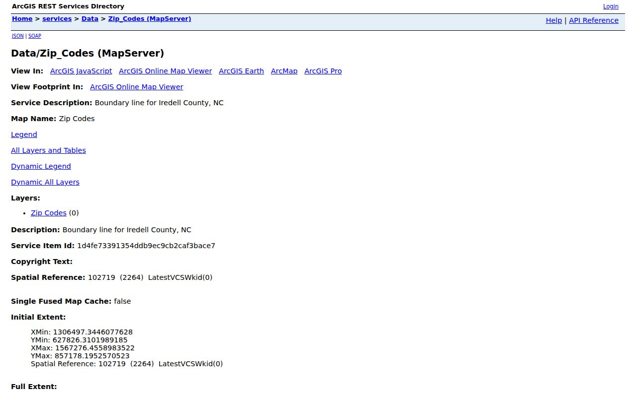
The service can compare a postal polygon with a parcel or city-limit layer. It does not resolve every delivery edge and does not list residents, so it should remain a geographic check inside a Statesville ZIP code research trail.
The Map Gallery also publishes ZIP, city-limit, ward, precinct, and township maps. Pick the layer that answers the question. A ZIP polygon answers postal geography; a city-limit layer answers incorporation; a ward or precinct layer answers election geography.
Build Statesville Results by ZIP
Statesville records do not offer a verified one-click ZIP-wide resident export. The assessor's visible search is field based, and the public voter lookup is name and county based. The voter law allows county or precinct lists and selective lists under N.C.G.S. §163-82.10, but the research did not locate a current request form, delivery format, fee, or street-sort procedure. Use the address-to-parcel process first, then ask the proper custodian about an existing permitted list.
- Run the exact Statesville address through USPS and save the standardized postal result.
- Enter the same address in Iredell County Tax Search - Real Estate Search to capture the parcel or account number and township.
- Compare the parcel point with the Iredell ZIP and city-limit layers, noting each result as postal, GIS, or municipal geography.
- Use ward or precinct maps only for civic geography. For a voter question, confirm with the NC State Board of Elections or the Iredell Board of Elections.
- When the ZIP has narrowed the address, use the Statesville Street Directory for the full parcel, map, deed, and historical-address trail.
The Tax Search address form accepts house number, unit, direction, street name, type, suffix, and municipality. It also exposes owner, account, segmented parcel, tax year, legal land size, legal land type, and zoning fields. A tax-card owner is not automatically an occupant, so keep the result labeled as an owner display.
Statesville ZIP Code and City Limits
A Statesville ZIP code and a Statesville city-limit result can disagree without either record being wrong. USPS assigns a standardized postal label. County GIS maps a postal geography. The City boundary, ward, township, and precinct are civic layers with different purposes. A Statesville mailing label does not prove city council jurisdiction, municipal service area, or a parcel's incorporation status. Conversely, a city address can need address-level postal verification rather than a ZIP assumption.
- ZIP code
- A USPS postal routing label. The five digits do not establish city limits or a property boundary.
- ZIP+4
- An additional delivery segment used with the five-digit ZIP. It is not a resident or jurisdiction code.
- PO Box ZIP
- A postal label for box service. It should not be treated as proof of a street-delivery area.
- Carrier route
- A delivery grouping used by USPS. It is distinct from a ward, precinct, township, and city limit.
Note: Exact edge coverage was not located in the official sources, so verify a particular Statesville address with both USPS and the relevant county map layer.
Statesville ZIP Code Civic Layers
One Statesville address can carry several valid labels at the same time: a USPS ZIP, an Iredell township, a precinct, a ward, and a city-limit status. This local geography is an interest layer because it explains why different offices may return different labels. The county's Map Gallery gives separate downloadable maps, and the City or Board of Elections is the better confirmation point when the question is service or election jurisdiction.
For an election question, the public voter result can describe jurisdictions, polling place, sample ballot if available, absentee information, and voter history. Protected identifiers and address fields remain restricted. Iredell Board of Elections is at 203 Stockton Street, Statesville, phone 704-878-3140. Do not infer a voter jurisdiction from a postal code or a map image alone.
Historic Statesville Addresses Need Conversion
Many Statesville directory volumes predate modern ZIP codes. A 1916 or 1932 address needs a present USPS check if a current postal label is needed, and that conversion is a geographic operation rather than evidence that a historical household remains at the address. Compare the printed street spelling with the Statesville Map Book, Sanborn sheets, the current tax situs, and the deed legal description before carrying a historical line into a present ZIP search.
The Statesville Post Office location page is the source for this Statesville postal-anchor image.
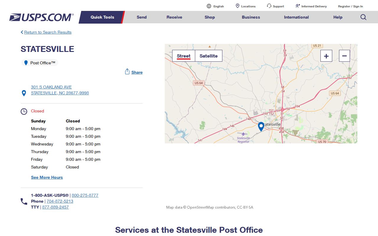
The post-office record anchors the local 28677 label, while the exact address still needs a current USPS response and a county geography check. Historical city-directory lines remain dated evidence and should never be rewritten as current residence claims.
Statesville ZIP Code Fallbacks
When online sources do not settle a ZIP question, use the channel tied to the record. USPS is the delivery-format source. Iredell GIS maintains address/street data, parcel mapping, and the regional address finder at 135 E Water Street, 704-878-3137. Tax Search is the parcel entry point. The Register of Deeds holds recorded instruments, while the City keeps records it creates or receives. A library, Archives, or City request can supply an older or non-digitized source when an exact address history is needed.
The North Carolina Public Records Act permits inspection at reasonable times and copies promptly on payment of lawful fees. Ask for an existing map, record, or document, and narrow a request by address, date range, department, or record type. The Act does not require an agency to create a new ZIP-wide compilation. A dependable Statesville result states the source and geography used, then leaves restricted or unverified information with the custodian.