
Trace a Statesville Address Record
An address-first Statesville search works best as a sequence. Iredell County keeps the practical first key in its tax system, while recorded instruments and historical sources sit with other custodians. Keep each result in its proper role. A parcel card can show an owner display and deed reference. A deed can identify parties to a transfer. A voter result is a civic snapshot. A directory line is dated household evidence. None should be stretched into a complete list of occupants along a Statesville street.
- Enter the house number and street in Iredell County Tax Search - Real Estate Search. Save the parcel, account, situs address, and owner display returned by the public record.
- Open the parcel in Iredell County MapGeo to compare the selected parcel with the same Statesville street, adjacent geometry, and relevant map layers.
- Use the parcel deed reference to start a party-and-instrument search through Iredell County Register of Deeds / Land Records. Read parties and prior references rather than assuming an owner was an occupant.
- For a named person, use the NC State Board of Elections Voter Lookup with the permitted name, county, year-of-birth, and status fields. The live lookup is name and county centered, not a confirmed whole-street list.
- For an older Statesville street, compare library street sections, DigitalNC scans, maps, and newspapers with the source date. The directory line is a dated clue, not a current contact record.
Record the source date, street spelling, parcel identifier, and record role after each step. That discipline matters in Statesville, where current web displays, historical pages, and vendor-transition records can each show a different slice of one address.
Statesville Street Records Coverage
Address-keyed sources cover different facts along a Statesville street. Tax and GIS views help locate a parcel. The Register of Deeds supplies the recorded chain. City files can provide permit or code context when the City created the record. The library and Archives provide historical address evidence when a current screen cannot reach far enough back. This table separates the source from the conclusion it can support.
| Address record | Statesville custodian | Street-level evidence | Access route |
|---|---|---|---|
| Tax parcel card | Iredell County Tax Office | Parcel, owner display, situs address, township, values, sales, deed reference, zoning | Public portal, phone 704-878-5368, or office |
| GIS parcel layers | Iredell County GIS | Parcel geometry, address/street data, ZIP, zoning, fire, floodplain, election, topography | MapGeo, ArcGIS, Map Gallery, or GIS office |
| Recorded deed or plat | Iredell County Register of Deeds / Land Records | Grantor, grantee, date, legal description, book/page, plat, prior references | CCS/Cott route, counter, phone, or copy request |
| Voter record | Iredell Board of Elections and NC SBE | Permitted registration, county, precinct, party, jurisdiction, voter-history information | State lookup, county request, or office visit |
| Historic address source | Iredell County Public Library and State Archives | Dated household lines, maps, newspapers, deeds, estates, and court references | Local History Room, DigitalNC, Archives, or staff request |
Use the web display as a lead, then move to the office that holds the record needed. Statesville is the Iredell County seat, but the Tax Office, GIS, Clerk, Register of Deeds, Board of Elections, City Clerk, library, and Archives are distinct channels. A North Carolina Public Records Act request belongs with the custodian of an existing record, not with a generic records desk.
Note: A source may identify an owner, recorded party, or dated household without establishing that the person currently lives at the Statesville address.
Statesville Address Parcel Fields
The county tax form turns a street name into a parcel key. Its address fields separate house number, unit, direction, street name, street type, suffix, and municipality. That separation is useful when a Statesville address has an apartment, directional prefix, or a street label that differs on an older map. At least one search field is required overall, but the research did not verify individual masks, dropdown choices, export controls, or a whole-street browsing tool.
| Tax Search field | Input type | Statesville street use |
|---|---|---|
| Owner | Last name and first name text | Confirms the owner display after an address result produces a name. |
| Account | Account number text | Returns to the same tax record when a street spelling is uncertain. |
| Parcel | Segmented MAP, BLK, PIN, CONDO, CC, and LH inputs | Uses the parcel key exactly as the county stores it. |
| Tax year | Select field | Preserves the tax-year context for a Statesville result. |
| Address | House number, unit, direction, street name, type, suffix, municipality | Provides the direct address-first search route. |
| Advanced | Legal land size range, legal land type, zoning type | Helps distinguish parcels when an address returns more than one record. |
The parcel view can also display tax codes, land units and type, legal description, sales information, values, zoning, and a property record card link. The county says this display is not a legal document and does not certify its accuracy. For a boundary, title, or legal-description question, use the recorded instrument and a direct county contact rather than relying only on a screen result.
- Parcel
- A county-tracked property unit, often reached through its account or segmented parcel identifier.
- Situs address
- The location assigned to the parcel, which can differ from an owner's mailing address.
- Plat
- A recorded map that can show lots, street layout, and the legal geometry tied to an instrument.
- Criss-cross directory
- A historical street or householder section that connects an address with a dated printed entry.
MapGeo Layers Along Statesville Streets
MapGeo gives a Statesville street search physical context. The county's linked GIS ecosystem includes tax mapping, parcels, floodplain, zoning, fire, topography, election, address/street, ZIP, NCDOT, Census, and regional address-finder layers. Pan along a street, select the parcel, and compare it with nearby geometry. The research did not capture a stable buffer, radius, export, or click sequence, so use the address or parcel identifier to repeat the check and verify a consequential map finding with GIS or the underlying record.
The Iredell County MapGeo viewer is the source for this Statesville parcel-layer image.
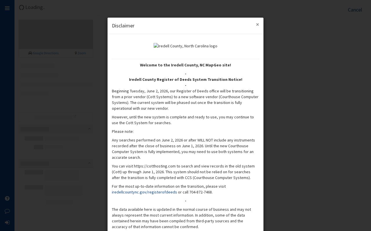
The image illustrates map-based layer context, not a verified occupant result. MapGeo can orient a Statesville street search, while the tax card and recorded deed provide the document trail behind a selected parcel.
The county cautions that maps generated from deeds, plats, and public records should be verified. Its notices also describe a 1,000-foot grid in NC State Plane NAD83. A web parcel line is useful orientation, not a survey, and a map layer does not create a complete household list for a Statesville block.
Deeds Behind Statesville Street Numbers
After the parcel card supplies a deed reference, follow the record at the Register of Deeds. Read the instrument image for grantor, grantee, legal description, date, consideration language, easements, restrictions, and the cited prior deed. Then work backward by the prior book/page, keeping spelling variants and estate or trust roles separate. A grantor, grantee, executor, trustee, corporation, or heir is a recorded party, not automatically the person who occupied the Statesville address.
The Land Records page advertises coverage from December 1788 to the present. The current service is moving from Cott Systems to Courthouse Computer Systems, or CCS, and the county warns that data under testing may be incomplete or inaccurate. The live interface did not expose a reliable field or sample-record inventory during research. Check both systems if necessary, then use the counter, phone, or copy request for a material result. The Statesville Register of Deeds office is at 211 Constitution Lane and lists 704-872-7468.
Certified deed copies are listed at $5 for the first page and $2 for each additional page. The county says uncertified copies may be obtained in person, by phone, and online, but its displayed per-page wording should be confirmed before payment. The county also cautions against official-looking Recorded Deed Notice mailers. Request a copy through the county path instead.
Statesville Deed Coverage Gaps
Statesville has an important date-range caution. Iredell County advertises online land records from December 1788 forward, while the transferred State Archives inventory lists land deeds from 1811 through 1945. Those statements describe different access systems and are not proof that one replaces the other. For an early Statesville instrument, search the county land-record route and the Archives finding aid, then ask which custodian has the needed book or image.
The Archives inventory also lists mortgages and deeds of trust from 1857 through 1952, land entries from 1855 through 1905, and judgment-docket tax sales from 1930 through 1970. The State Archives can be reached at archives@ncdcr.gov or through its Search Room at 919-807-7310; copies can be requested through the Correspondence Portal or in person. This layered route is more reliable than treating a no-result in one Statesville address source as proof that no record exists.
Note: Save the portal date and exact spelling used, because a vendor migration, index variant, unscanned book, or protected record can produce a legitimate no-result.
Directory Clues by Statesville Street
For a prior household, the library's city-directory shelf is the right companion to a Statesville address search. The library lists runs for 1907-1910, 1914-1992, 1995-2003, Miller's directories from 1932-1964, and Polk directories from 2004-2021. DigitalNC provides early scans, including 1909-1910 and 1916-1917. Search both alphabetical and householders' or street sections, then record the printed spelling, page, date, and notation exactly as it appears.
The Statesville Map Book and street-index PDFs provide a source image for reconciling a street label before comparing historical entries.
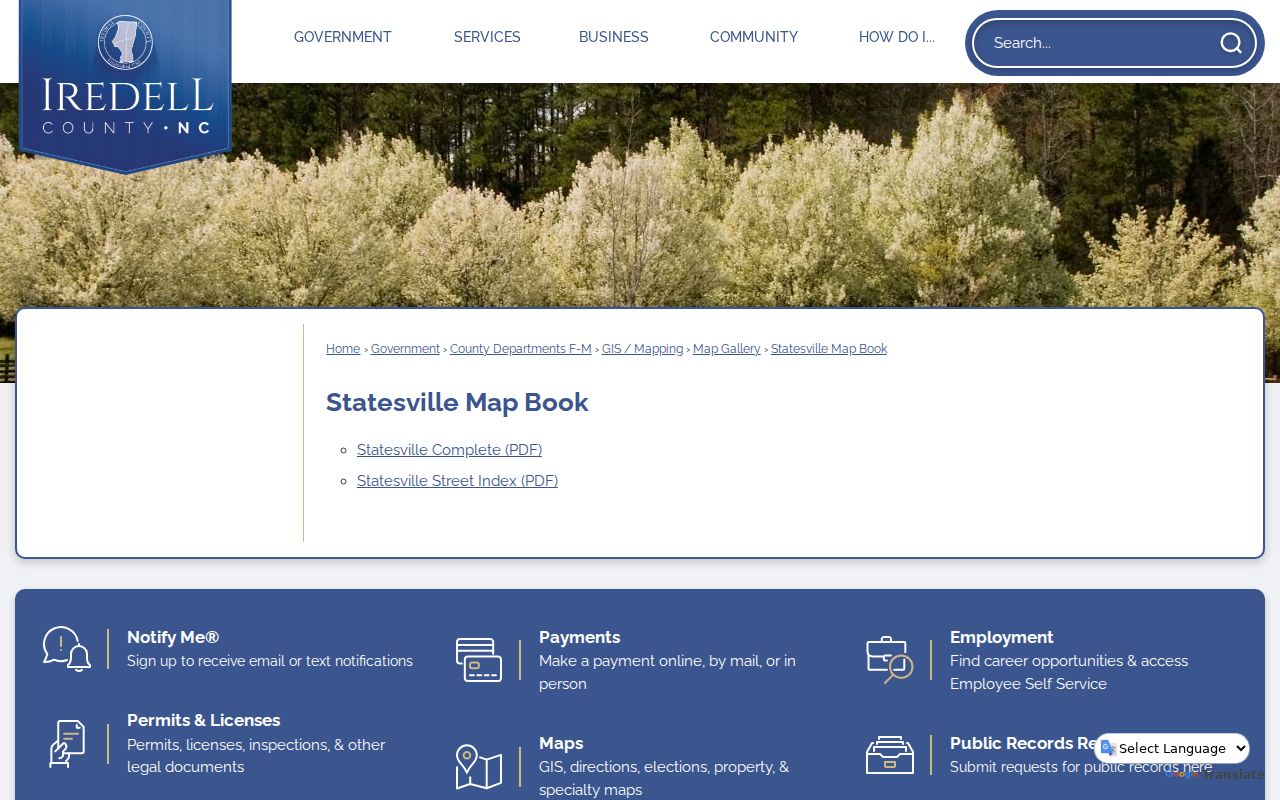
Use the map book as a geographic cross-check, then seek dated household evidence in the library collections. The historical directory shelf is covered in depth in the Statesville Directory Book, where period volumes and their shorthand are the focus.
Sanborn maps and the library map index add structure, uses, street names, and block or house numbers. They do not name every occupant. A current tax situs, USPS standardized address, printed directory spelling, Sanborn label, and deed legal description can differ, so preserve the date and source for each Statesville street reference.
Statesville Street Geography Checks
One Statesville street address can carry a USPS mailing ZIP, an Iredell township, a precinct, a municipal ward, and a city-limit status. These are not interchangeable. Use a ZIP map for postal geography, a ward map for municipal-election geography, a precinct map for ballot jurisdiction, and a city-limit map for incorporation. USPS also says that its standardized address result does not confirm a person or company at the address.
The Iredell County Map Gallery is the source for this Statesville image of available ZIP, city-limit, ward, precinct, and township maps.
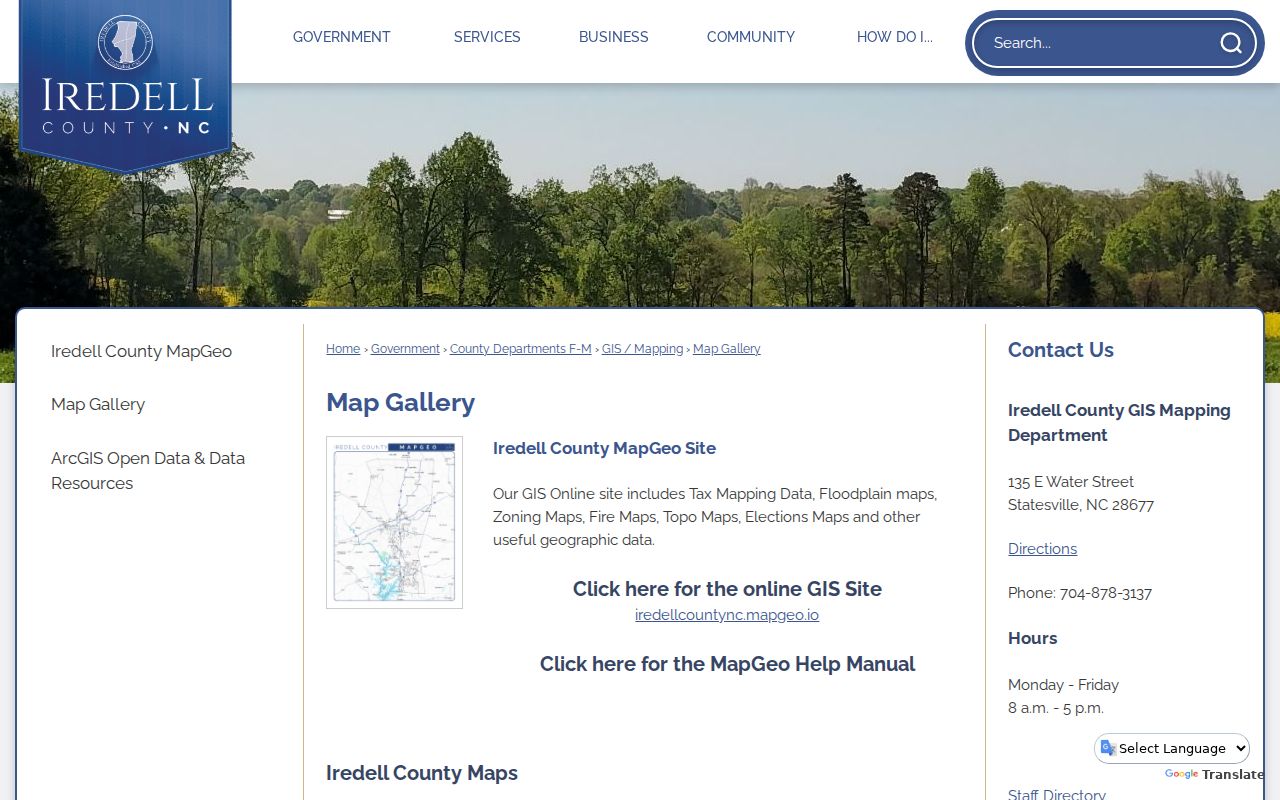
These downloadable maps support a jurisdiction check around a Statesville street, but they do not establish who lives at a property. The Map Gallery lists updates in July 2025, so confirm a current boundary question with the responsible office.
Statesville Street Record Fallbacks
When a web search is incomplete, move through documented Statesville channels rather than guessing. For a tax card or parcel issue, call the Tax Office or contact GIS at 135 E Water Street, 704-878-3137. For a deed or plat, use the Register of Deeds counter, phone, or copy route. For a municipal permit, plan, inspection, or code matter, use Statesville Citizen Self-Service or send a focused request to the City custodian. The City accepts public-record requests through its online route, by mail, in person, phone, or email.
The North Carolina Public Records Act, N.C.G.S. Chapter 132, allows inspection at reasonable times and copies promptly on payment of lawful fees. A request can be narrowed by date range, department, address, record type, or keyword. The statute does not require a requester to state a purpose, but it does not require an agency to create a new compilation. Ask for an existing file and a cost estimate if substantial retrieval, review, or redaction may be needed.
For current civic information, the North Carolina trial courts serving Iredell eCourts Portal / Smart Search and the Clerk are separate court channels. For historical street evidence, the Local History Room, State Archives, DigitalNC, newspapers, directories, and maps are the useful fallback sequence.
Limits of Statesville Street Searches
A Statesville street search is not a complete resident roster. Tax cards can display an owner rather than an occupant. MapGeo can show parcels and layers rather than every person at a building. A deed records a transfer of an interest. The public voter result has protected fields, and the research did not locate a confirmed street-sorted public-file procedure. Private household members, protected participants, delivery data, utility customers, closed DMV information, sealed records, and other restricted information remain outside a lawful address search.
When the purpose becomes verifying one specific record role, separate the name from the address and use the appropriate official custodian. A reliable Statesville result identifies the source, date, and whether the person appears as owner, recorded party, civic registrant, or historical directory entry. It does not turn a partial public index into a claim about every household on the street.